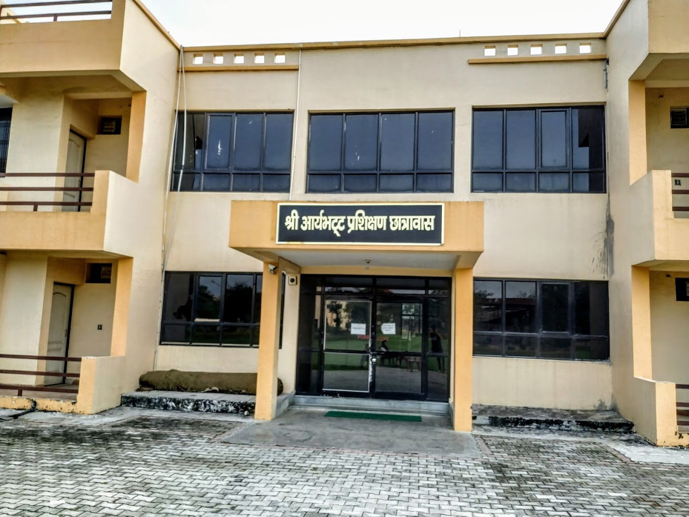

M.Tech in Remote Sensing & GIS
at Remote Sensing Applications Centre, Lucknow, Lucknow, Uttar Pradesh
Eligibility: B.E./B.Tech (60% or equivalent CGPA) in Civil / Environment / Computer Science / Information Technology / Electrical Engineering / Agriculture OR M.Sc (60% or equivalent CGPA) in Geography / Geology / Geoinformatics / Geomatics / Environmental Sciences / Earth Sciences / Forestry / Agriculture / Soil Sciences / Botany / Water Resources from a recognised university
Specializations Available (1)
Remote Sensing and GIS
| Fee Quota | Yearly | Total Fee |
|---|---|---|
General | INR 92K | INR 1.64L |
Note: 1st Year: ₹20,000 (Registration + Admission Fee, one-time) + ₹36,000 × 2 semesters = ₹92,000. 2nd Year: ₹36,000 × 2 semesters = ₹72,000. Total: ₹1,64,000. Source: Official RSAC-UP website (rsac.up.gov.in). GATE-qualified candidates additionally eligible for MHRD stipend of ₹12,400/month (separate from institute fee). | ||
Interested in Remote Sensing and GIS?