

Remote Sensing Applications Centre, Lucknow Admissions 2026, Courses, Fees & Cutoffs
Institute Type
Public
Total Courses
2 Courses
Remote Sensing Applications Centre, Lucknow - Overview
Table of Contents
About Remote Sensing Applications Centre, Lucknow
Remote Sensing Applications Centre, Uttar Pradesh (RSAC-UP), located in Lucknow, is a pioneering government autonomous organisation established by the Government of Uttar Pradesh in 1982. Uttar Pradesh holds the distinction of being the first state in India to set up a dedicated Remote Sensing Applications Centre, underscoring its visionary approach to leveraging space technology for developmental purposes. RSAC-UP operates as an autonomous organisation under the Department of Science and Technology, Government of Uttar Pradesh, with the primary aim of applying aerial and satellite remote sensing technologies in conjunction with conventional methodologies for effective natural resources management across the state. The Centre has achieved remarkable recognition over the decades. The work of RSAC-UP has been cited by former President of India Dr. A.P.J. Abdul Kalam in his landmark book 'Vision 2020', and it has also received international attention with coverage in The New York Times. It was among the pioneer institutions establishing Remote Sensing Applications centres in India, setting the benchmark for similar organisations across the country. In 2013, RSAC-UP added an academic dimension by establishing the School of Geo-Informatics (SGID) and launching a two-year M.Tech programme in Remote Sensing & GIS. This programme is affiliated to Dr. APJ Abdul Kalam Technical University (AKTU), Lucknow, and approved by the All India Council for Technical Education (AICTE), New Delhi. The academic session commences in July every year and is conducted at the RSAC Lucknow campus, which spreads across approximately 8 acres. The Centre conducts cutting-edge research and applied work across multiple domains. Its key research and application areas include Forest Resources & Ecology (forest mapping, species identification, biomass assessment), Agricultural Sciences (crop monitoring, crop management, soil analysis), Urban Planning & Infrastructure Mapping, Disaster Management, Watershed Management, Water Resources, and Environmental Studies. RSAC-UP has completed numerous projects for the Government of Uttar Pradesh, contributing directly to policy-making and resource management. The infrastructure at RSAC Lucknow is state-of-the-art for its specialisation. It houses well-equipped remote sensing laboratories with advanced software including geographic information systems (GIS), photogrammetry, and image processing tools. A soil laboratory equipped with basic and advanced instruments for soil analysis (pH, EC, texture, organic matter, micronutrients, pesticide residue estimation) supports multi-disciplinary research. The campus library stocks a rich collection of books, journals, and digital resources relevant to geo-informatics, remote sensing, and allied sciences. Facilities for students include hostel accommodation for both boys and girls, high-speed internet connectivity, a cafeteria, an auditorium, sports facilities, and a modern learning management system. The student strength is small (18 seats per batch), enabling an intimate learning environment with close faculty-student interaction and strong mentorship. Admission to the M.Tech programme is merit-based. Preference is given to GATE-qualified candidates, followed by CUET PG-qualified candidates. For vacant seats, spot counselling is conducted through a written examination at the RSAC Lucknow campus. The minimum eligibility is a B.E./B.Tech degree with 60% marks or an M.Sc with 60% marks from a recognised university. Graduates of RSAC Lucknow find placements in diverse sectors including central and state government departments (Survey of India, ISRO, National Remote Sensing Centre, Forest Survey of India), environmental consulting firms, GIS companies, urban planning organisations, and academic institutions. The specialised nature of the degree makes RSAC Lucknow graduates highly sought after in the geospatial industry, which is one of the fastest-growing sectors globally. RSAC-UP also provides training, research, and consultancy services to various national and international organisations in the field of remote sensing and GIS applications. The Centre has collaborations with leading research organisations and industries in India and abroad, providing students with valuable industry exposure during their postgraduate programme.
Remote Sensing Applications Centre offers students courses in different areas. Candidates can enroll in PG programmes based on their interests and career goals. Admissions are offered based on merit or entrance exam performance. Check below the Remote Sensing Applications Centre, Lucknow courses along with their tuition fees and eligibility criteria:
Remote Sensing Applications Centre, Lucknow Courses
2 CoursesM.Tech in Remote Sensing & GIS
B.E./B.Tech (60% or equivalent CGPA) in Civil / Environment / Computer Science / Information Technology / Electrical Engineering / Agriculture OR M.Sc (60% or equivalent CGPA) in Geography / Geology / Geoinformatics / Geomatics / Environmental Sciences / Earth Sciences / Forestry / Agriculture / Soil Sciences / Botany / Water Resources from a recognised university
M.Tech in Remote Sensing & GIS
B.E./B.Tech with 60% marks OR M.Sc with 60% marks from a recognised university; GATE/CUET PG score preferred
| Course | Fee Range | Eligibility |
|---|---|---|
M.Tech in Remote Sensing & GIS 1 specialization | ₹ 1.64L - 1.65L | B.E./B.Tech (60% or equivalent CGPA) in Civil / Environment / Computer Science / Information Technology / Electrical Engineering / Agriculture OR M.Sc (60% or equivalent CGPA) in Geography / Geology / Geoinformatics / Geomatics / Environmental Sciences / Earth Sciences / Forestry / Agriculture / Soil Sciences / Botany / Water Resources from a recognised university |
M.Tech in Remote Sensing & GIS 2 specializations | ₹ 82K | B.E./B.Tech with 60% marks OR M.Sc with 60% marks from a recognised university; GATE/CUET PG score preferred |
Remote Sensing Applications Centre, Lucknow Admissions
Below is the complete admission information including eligible exams, eligibility criteria, admission process, and important notes for each program offered.
Required Entrance Exams
GATE / CUET PG
Important Notice
Academic session starts every year in July. Apply online through Dr. A.P.J. Abdul Kalam Technical University website: www.aktu.ac.in. Source: Official RSAC-UP website.
Required Entrance Exams
GATE / CUET PG
Important Notice
Academic session starts in July every year. Candidates must register through AKTU or the official RSAC UP website.
Confused about Admissions?
Don't navigate the complex process alone. Chat with our expert counsellors for 1-on-1 guidance on cutoffs, documentation, and securing your seat.
Placement Highlights 2024
Placement statistics not officially published. Graduates typically enter government geospatial departments, ISRO affiliates, and GIS industry firms.
Top Recruiters & Packages
| Company | Package |
|---|---|
ISRO | N/A |
National Remote Sensing Centre (NRSC) | N/A |
Survey of India | N/A |
Approved
AICTE (2024)
Complete Rankings Report
Explore all historic rankings and ratings
| Publishing Agency | Ranking / Rating |
|---|---|
AICTE (2024) | Approved |
Scholarships & Financial Aid
Government of Uttar Pradesh scholarship for SC/ST students
Available Scholarships
| Scholarship Name | Eligibility Criteria | Award Amount |
|---|---|---|
Post-Matric Scholarship Government of Uttar Pradesh scholarship for SC/ST students | SC/ST students from Uttar Pradesh | Fee Reimbursement |
Post-Matric Scholarship Government of Uttar Pradesh scholarship for SC/ST students | SC/ST students from Uttar Pradesh | Fee Reimbursement |
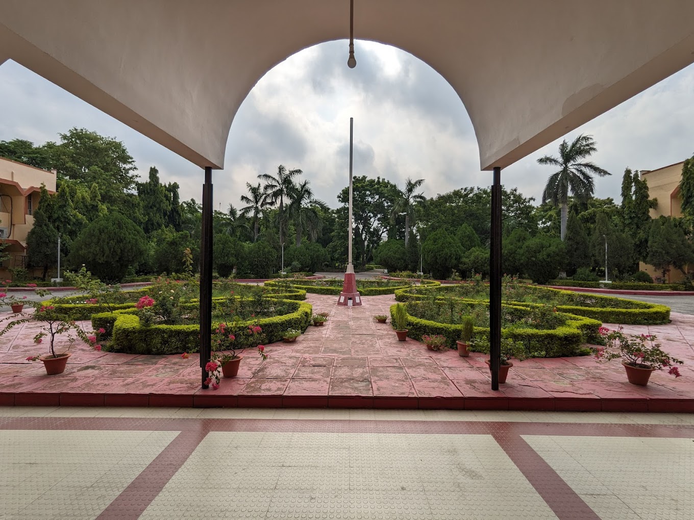
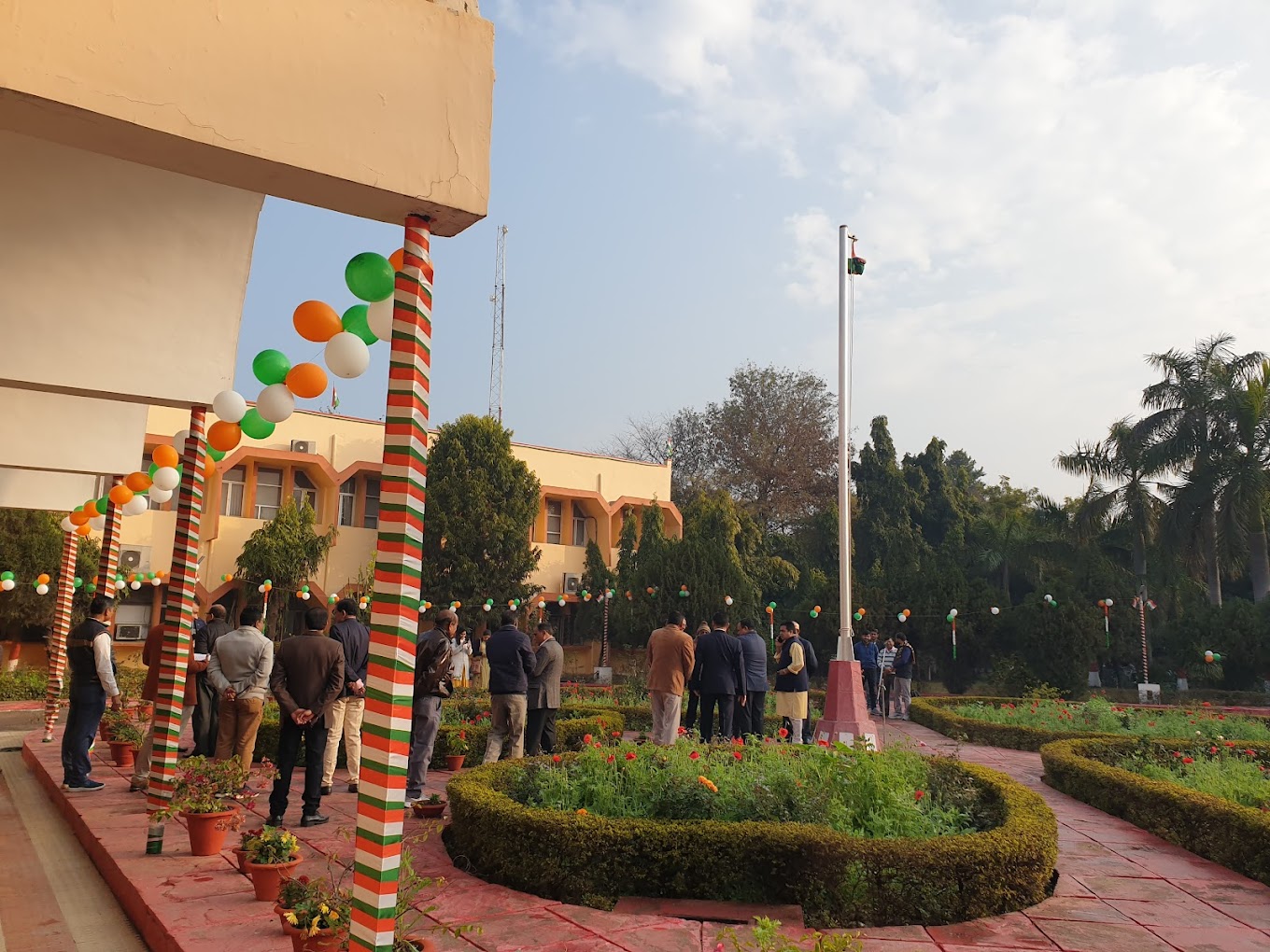
Campus Infrastructure
Campus Infrastructure & Facilities
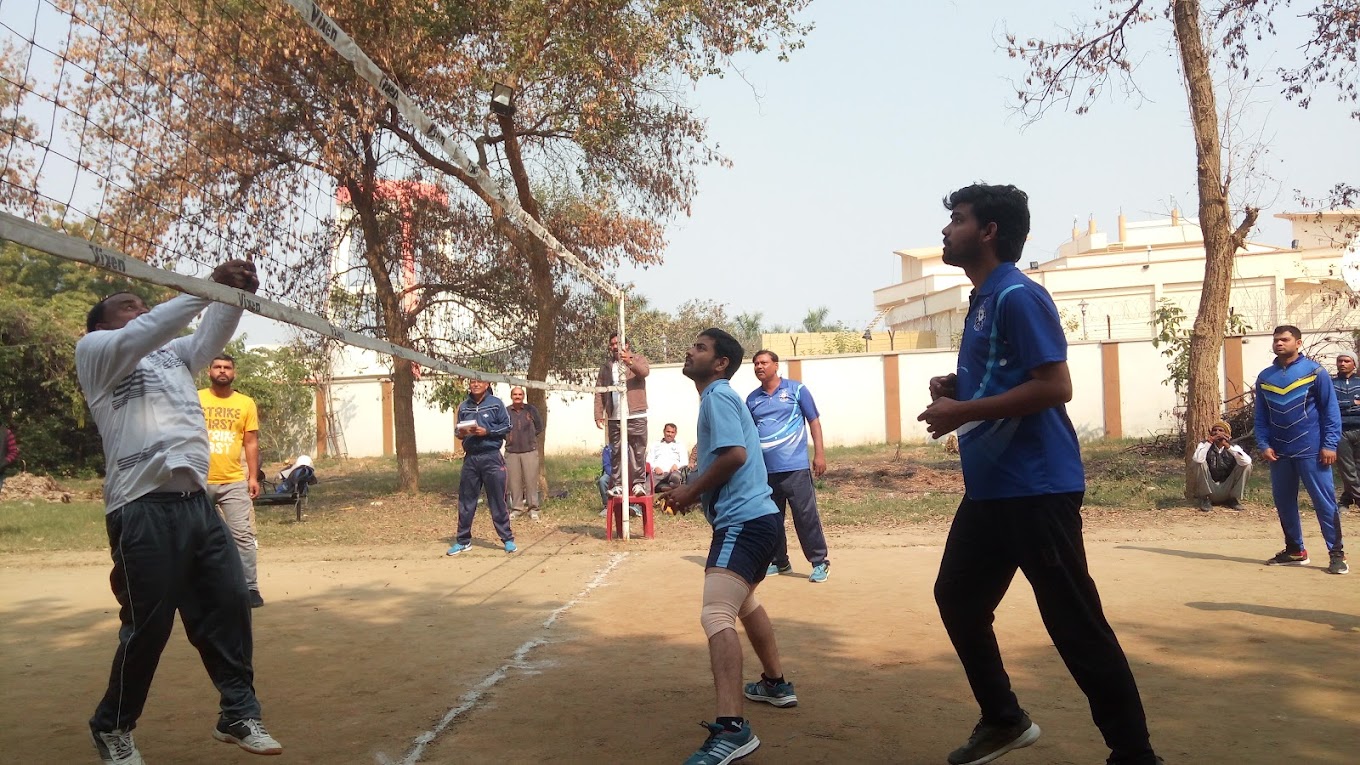
Sports Facilities
Outdoor sports facilities available for students on campus.
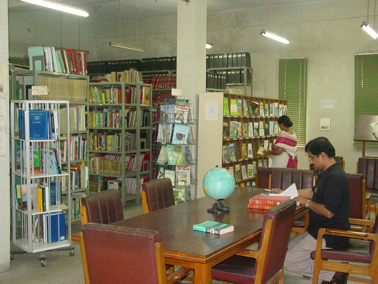
Central Library
Stocked with books, journals, and digital resources in remote sensing, GIS, natural resource management, and allied sciences.
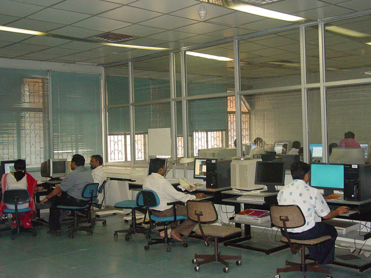
Remote Sensing & GIS Laboratory
State-of-the-art lab with the latest GIS, photogrammetry, and image processing software for coursework and research projects.
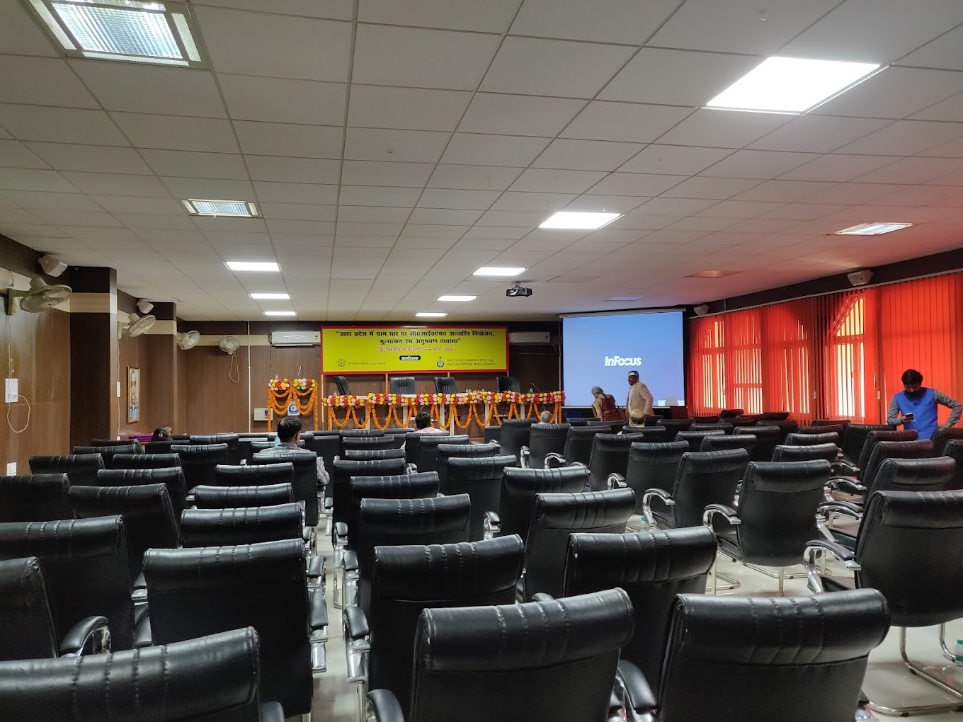
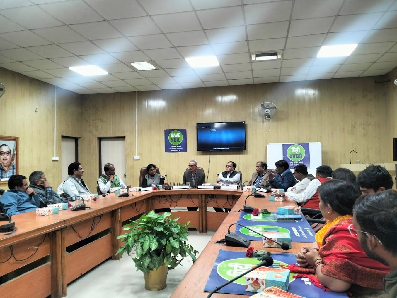
Auditorium
Fully equipped auditorium used for seminars, workshops, and academic events.
Auditorium
Fully equipped auditorium used for seminars, workshops, and academic events.
Central Library
Stocked with books, journals, and digital resources in remote sensing, GIS, natural resource management, and allied sciences.
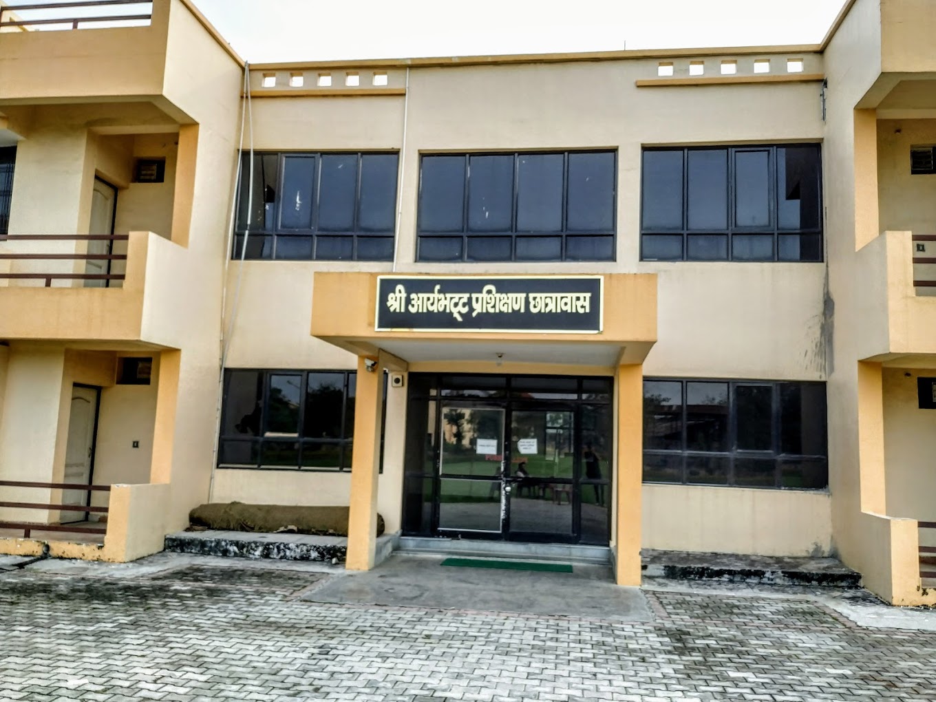
Hostel & Accommodation
Boys Hostel Fee Structure
| Room Type | Course | Annual Fee |
|---|---|---|
| Shri Aryabhatt Training Hostel (AC, Furnished) | M.Tech | ₹NaN |
Girls Hostel Fee Structure
| Room Type | Course | Annual Fee |
|---|---|---|
| Shri Aryabhatt Training Hostel (AC, Furnished) | M.Tech | ₹NaN |
* Fees are subject to change. Please contact the administration for the latest details.
Campus Gallery
Campus
Campus
Infrastructure
Infrastructure
Infrastructure
Campus
Campus
Infrastructure
Frequently Asked Questions
The academic session for the M.Tech programme starts every year in the month of July.
Graduates can pursue careers in ISRO, National Remote Sensing Centre (NRSC), Survey of India, Forest Survey of India, state government GIS departments, urban planning bodies, environmental consultancies, GIS/geospatial technology companies, and academia.
Candidates must hold a B.E./B.Tech degree with minimum 60% marks, or an M.Sc degree with minimum 60% marks from a recognised university. GATE or CUET PG qualified candidates are given preference.
Admission is merit-based, with priority to GATE qualified and CUET PG qualified candidates. For vacant seats, spot counselling is conducted via a written examination at the RSAC Lucknow campus. Applications are submitted through the AKTU official website.
M.Tech in Remote Sensing & GIS, M.Tech in Remote Sensing & GIS

Upcoming Exams
CUET
CUET UG Exam • 11-31 May 2026
PGIMER
BSc Nursing Exam • July-August 2026
NIPER JEE
NIPER JEE Exam • June 2026
CAT
CAT Exam • 29 Nov 2026